Hello!

- 10 0.4 miles
-
 York Museum Gardens (former bowling green, north of St Olave's Church), Museum Street, York YO1 7FR
 -
View on Map
-
 9:00 am - 6:00 pm
About Stop H: The Mosaic Map
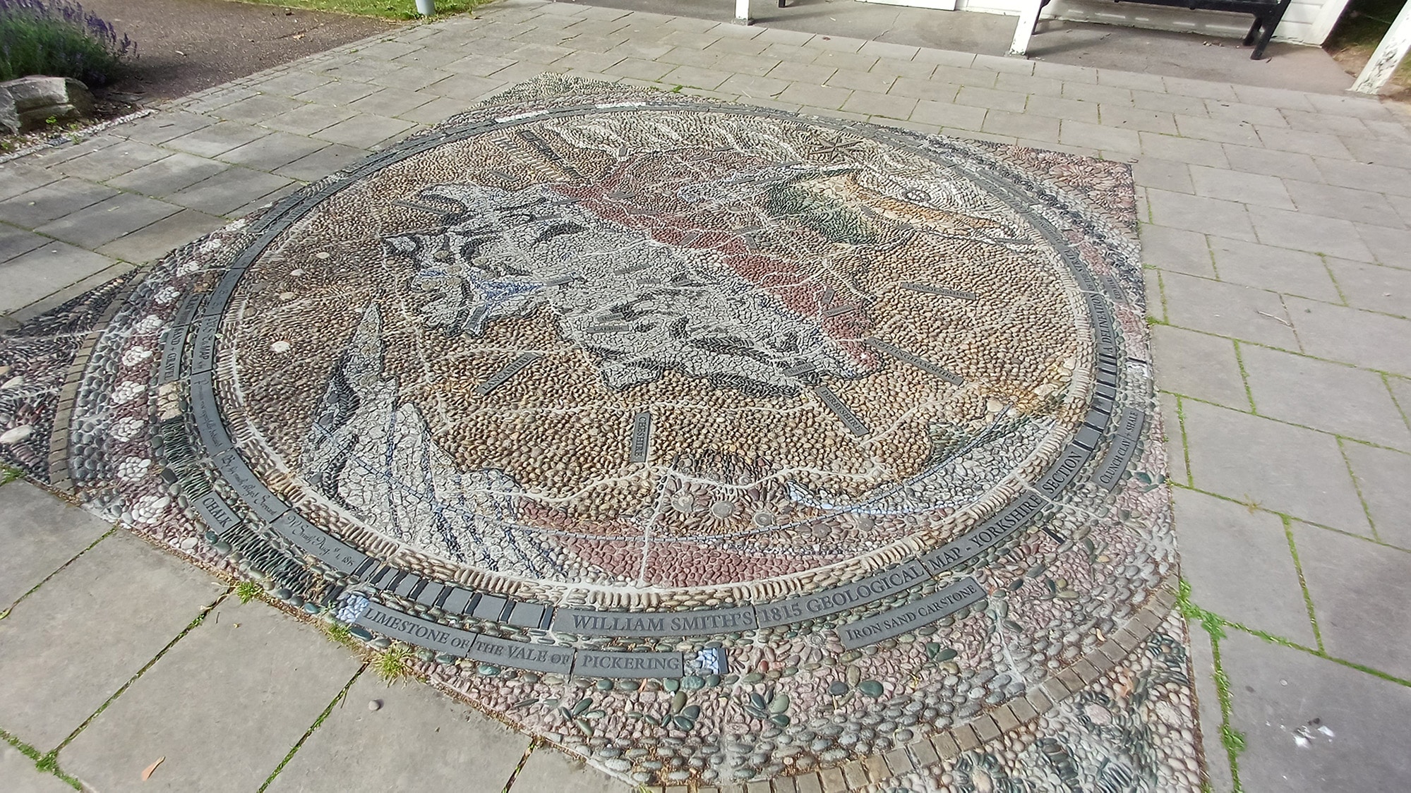
This artwork, created by Janette Ireland in 2015, is a walk-on pebble mosaic based on part of a 200-year-old map.
It depicts the Yorkshire segment of William Smith’s geological map, published in 1815, a ground-breaking chart which detailed the geology of Britain for the first time.
Produced in 15 individual panels, each one highlighted the differing rock types that occur across most of the country.
Information for the map was painstakingly collected by Smith, who travelled more than 150,000 miles during a span of 15 years – by horse, carriage and even on foot.
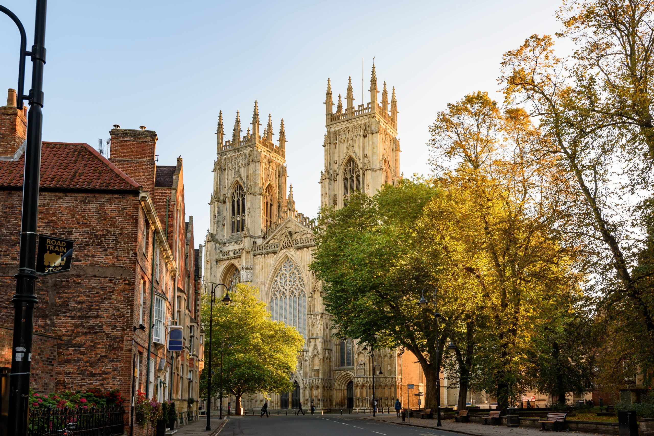
The modern mosaic uses pebbles, fossils, discarded stone from York Minster, and tiny millstones, to mirror the colours of Smith’s original map, which represents one of the most significant contributions made to science.
 Walking